Главная
Клипы
Новинки
Тренды
Популярные
Лайки
Комментарии
Все категории
Музыка
Фильмы
Видеоигры
Транспорт
Животные
Спорт
Путешествия
Люди и блоги
Юмор
Развлечения
Политика
Хобби
Образование
Наука
Организации
Найти
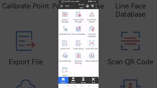
Learn DJI Pilot 2 Application for RTK Drone Survey
Lhoun Jaaf
1,11 тыс. подписчиков
Скачать
15 видео с канала:
Lhoun Jaaf
Learn DJI Pilot 2 Application for RTK Drone Survey
Скачать
Learn Agisoft Metashape Professional Photogrammetry Software
Скачать
eSurvey GPS SurPad - how to use demo mode
Скачать
How to Zenmuse L1 LiDAR data process by DJI Terra Software
Скачать
Drone Survey PPK Process By REDToolBox
Скачать
Leica GNSS GS18i Absolute and Relative Static Survey Mode
Скачать
How to Aerial Survey by DJI Matrice 300 RTK
Скачать
Leica GNSS GS18i image scan arabic learning
Скачать
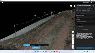
Global Mapper Points Cloud Classify
Скачать
Phantom 4 RTK training 1
Скачать
Phantom 4 RTK training 2
Скачать
Phantom 4 RTK training 3
Скачать
How to Aerial Survey by DJI phantom 4 pro
Скачать
How to Convert Coordinate systems for Survey Points in Civil 3D
Скачать
How to import survey GPS points located between tow UTM zones to Civil 3D.mp4
Скачать
Канал: Lhoun Jaaf
Learn DJI Pilot 2 Application for RTK Drone Survey
Скачать
Learn Agisoft Metashape Professional Photogrammetry Software
Скачать
eSurvey GPS SurPad - how to use demo mode
Скачать
How to Zenmuse L1 LiDAR data process by DJI Terra Software
Скачать
Drone Survey PPK Process By REDToolBox
Скачать
Leica GNSS GS18i Absolute and Relative Static Survey Mode
Скачать
How to Aerial Survey by DJI Matrice 300 RTK
Скачать
Leica GNSS GS18i image scan arabic learning
Скачать
Global Mapper Points Cloud Classify
Скачать
Phantom 4 RTK training 1
Скачать
Phantom 4 RTK training 2
Скачать
Phantom 4 RTK training 3
Скачать
How to Aerial Survey by DJI phantom 4 pro
Скачать
How to Convert Coordinate systems for Survey Points in Civil 3D
Скачать
How to import survey GPS points located between tow UTM zones to Civil 3D.mp4
Скачать