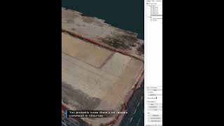
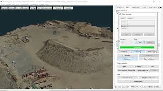
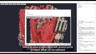
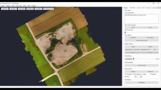
How to use the New Clip Function for Precise and Easy Cropping 3Dsurvey 4,09 тыс. подписчиков Скачать
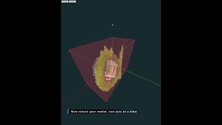
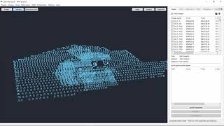
Aligning Terrestrial Laser Scans in 3Dsurvey: Manual and automatic guide to Point Cloud Registration Скачать
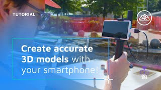
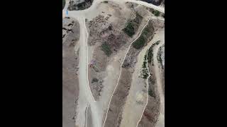
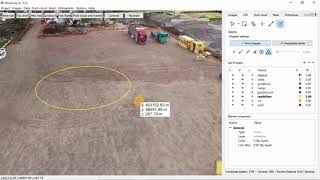
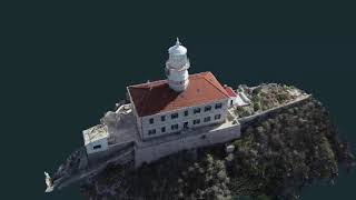
Videogrammetry: How to create a realistic and accurate 3D model from video made with mobile phone Скачать
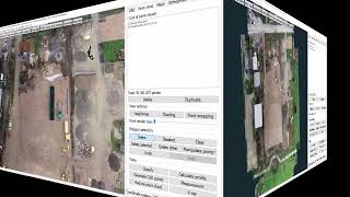
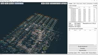
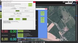
Webinar: How to combine photogrammetry and traditional measurement results - breakline support Скачать
Webinar: Step-by-step how to import 3Dsurvey pointcloud, 3D mesh and orthophoto data into AutoCAD Скачать
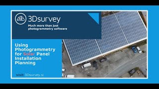
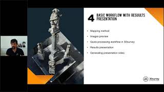
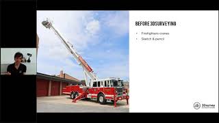
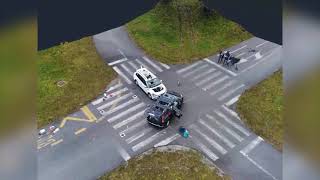
"Drone Mapping for Surveying" - From buying a drone to using it to create an accurate 3D model Скачать


![[Slovak] Využite dronovej fotogrametrie v každodennej geodetickej praxi](http://i.ytimg.com/vi/xvxsXoVEFEU/mqdefault.jpg)


![[German] Arbeiten mit 3Dsurvey](http://i.ytimg.com/vi/M9MsP6jagK0/mqdefault.jpg)

![[Turkish] Görüntü İşleme ve Haritalama Çözümü](http://i.ytimg.com/vi/K2id7GZKc0g/mqdefault.jpg)
![[Greek] Γνωριμία με το 3DSurvey η φωτογραμμετρία στην εποχή των drones](http://i.ytimg.com/vi/10Ssqie6pRU/mqdefault.jpg)


![[Slovak] Využite dronovej fotogrametrie v každodennej geodetickej praxi](https://i.ytimg.com/vi/xvxsXoVEFEU/mqdefault.jpg)


![[German] Arbeiten mit 3Dsurvey](https://i.ytimg.com/vi/M9MsP6jagK0/mqdefault.jpg)

![[Turkish] Görüntü İşleme ve Haritalama Çözümü](https://i.ytimg.com/vi/K2id7GZKc0g/mqdefault.jpg)
![[Greek] Γνωριμία με το 3DSurvey η φωτογραμμετρία στην εποχή των drones](https://i.ytimg.com/vi/10Ssqie6pRU/mqdefault.jpg)


