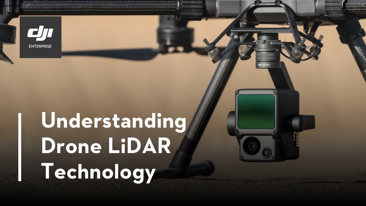
Join DJI Geospatial Channels & Solution Manager Simba Wang, as he explains how Drone LiDAR Technology works and the advantages of this technology in aerial surveying projects.
By the end of the video, you will not only understand the foundations of the technology but also you will know which scenarios LiDAR is suitable for, and how to collect accurate data with the DJI Zenmuse L1.
Subscribe to our channel to learn more about commercial drone applications, best practices, and user stories.
Learn more:
DJI Zenmuse L1: [ Ссылка ]
DJI Enterprise Blog: [ Ссылка ]
Like us on Facebook: [ Ссылка ]
Follow us on Twitter: [ Ссылка ]
Follow us on LinkedIn: [ Ссылка ]
Chapters
00:00 Light & Zenmuse L1 Introduction
01:09 How to use Zenmuse L1 for mapping
01:52 Why Zenmuse L1 is an effective LiDAR solution?
03:13 Advantages of LiDAR vs Photogrammetry
05:00 Accuracy of Zenmuse L1 and How to process L1 data in DJI Terra
08:13 How to collect and process L1 data more accurately
09:31 What are the major applications for Zenmuse L1