(11 Jan 2024)
ITALY ANCIENT ROME MAP
SOURCE: ASSOCIATED PRESS
RESTRICTION SUMMARY:
LENGTH: 3:24
ASSOCIATED PRESS
Rome, Italy - 11 January 2024
1.Wide of Rome Mayor Roberto Gualtieri visiting the Forma Urbis, ancient marble map of Rome
2. Close of tracking shot of map, person walking
3. Gualtieri visiting the Forma Urbis, ancient marble map of Rome
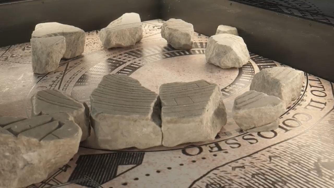
4. Close of Colosseum on the map
5. Pan of wide of Ancient Rome map under glass floor
6. SOUNDBITE (Italian), Claudio Parisi Presicce, Rome cultural heritage superintendent:
“The fragments are only partially showing this plan of Rome. It was originally hung on the walls of the library of the Peace Temple. But we decided to place it horizontally to give the chance to have the feeling to walk in the ancient city of Rome."
7. Various of ancient marble plan of Rome
8. Sign for museum
9. Wide of archeological park and Colosseum
10. Sarcophagus
11. Various of columns and archaeological findings
12. SOUNDBITE (Italian), Roberto Gualtieri, Rome Mayor:
“We are in a moment when Rome is a construction site, not only a construction site for mobility infrastructures, but also a construction site of museums, of research, of study, to give values to the archaeological heritage and the history of this city. We love the idea that those construction sites are linked.”
13. Various of ordinary people's graves
14. Various of wealthy family's sarcophagus
15. SOUNDBITE (Italian), Claudio Parisi Presicce, Rome cultural heritage superintendent:
“We created a path in the archeological garden that bring us into the daily life of the ancient world. Showing the daily life in regard of the burials and funerals. The relationship with the memory. And also the relation between public and private monuments, by retrieving a number of findings that were forgotten and were found during the excavations and works that were made starting in 1871, when Rome was chosen as the capital of the Italian kingdom.”
16. Various of archaeological park
17. Colosseum
LEADIN:
A new archaeological museum displaying an ancient marble map of Rome has been unveiled.
Under a glass floor, the map know as Forma Urbis, has been reconstructed for visitors to visualise the ancient city.
STORYLINE:
A walk through the ancient city of Rome.
Marble fragments pieced together under a glass floor, allow visitors to imagine the city during the Roman era.
It was created between 203 and 211 AD during the reign of the emperor Septimius Severus.
“The fragments are only partially showing this plan of Rome. It was originally hung on the walls of the library of the Peace Temple. But we decided to place it horizontally to give the chance to have the feeling to walk in the ancient city of Rome," says Claudio Parisi Presicce, Rome cultural heritage superintendent.
The marble plan is known as the Forma Urbis - which means plan of the city in Latin.
“We are in a moment when Rome is a construction site, not only a construction site for mobility infrastructures, but also a construction site of museums, of research, of study, to give values to the archaeological heritage and the history of this city. We love the idea that those construction sites are linked,” says Rome's Mayor Roberto Gualtieri.
The new museum Forma Urbis Museum and Caelian hill archaeological park has an indoor exhibition and a wide park overlooking the Colosseum.
There are various archaeological findings showing how ancient romans, wealthy nobles and ordinary people, buried their beloved ones and also pieces of their religious temples.
AP video and production by Paolo Santalucia.
Find out more about AP Archive: [ Ссылка ]
Twitter: [ Ссылка ]
Facebook: [ Ссылка ]
Instagram: [ Ссылка ]
You can license this story through AP Archive: [ Ссылка ]