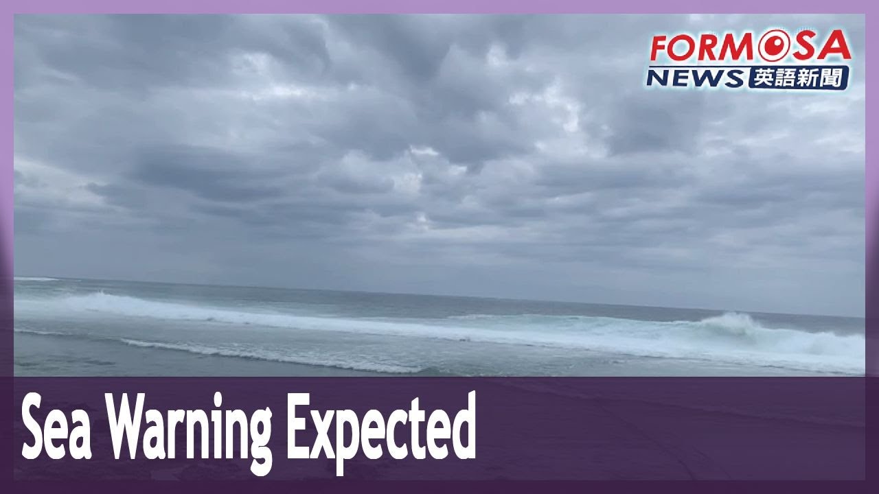
The Central Weather Bureau says it may issue a sea warning for Typhoon Hinnamnor as early as Friday morning. The typhoon is currently picking up strength as it moves toward Taiwan, absorbing a tropical depression to the south. The storm currently has a radius of 250 kilometers. Let’s hear from the CWB.
Hsieh Pei-yun
CWB forecaster
We may issue a sea alert in the morning tomorrow. The storm could still veer west as it moves northward, and it may become bigger. We don’t yet rule out the possibility that it makes landfall on Taiwan. We expect the rain to be heaviest on Sept. 2 and 3, that is, Friday and Saturday. Due to the storm’s periphery, there will be heavy showers in the north and east of Taiwan. Mountainous areas in the north, the north coast and Keelung may see localized, extremely heavy showers.
According to the most forecasts, the typhoon will stop in its place on Friday for about a day before moving away to the north. The CWB urges the public to take precautions, as the storm may bring gale-strength wind gusts measuring 9 to 10 on the Beaufort scale.
![CUANDO SE TE MOJA LA TARE - PHONK [Super Slowed + Reverb]](http://i.ytimg.com/vi/jmCqMF6bFjE/mqdefault.jpg)


![CUANDO SE TE MOJA LA TARE - PHONK [Super Slowed + Reverb]](https://i.ytimg.com/vi/jmCqMF6bFjE/mqdefault.jpg)


