One of the best ways to see the extensive footprints left behind by the rich mining history of the Victorian Goldfields is through Google Earth!
Today I’m going to quickly show you and talk about some of the many different remnants that are left over from Victoria’s busy mining days, including what they are, how they appear from above, and what they look like in person.
Now, I spend a ridiculous amount of time cruising around on Google Earth looking at historical sites. I know there’s got to be plenty of other people out there who do the exact same thing, and if you’re watching this video, there’s a good chance you’re one of em, so welcome! You’re among friends.
I'd like to give a shout out to @OzGeologyOfficial with many thanks for kindly providing the incredible drone footage used in this video of some old diggings in the Golden Triangle.
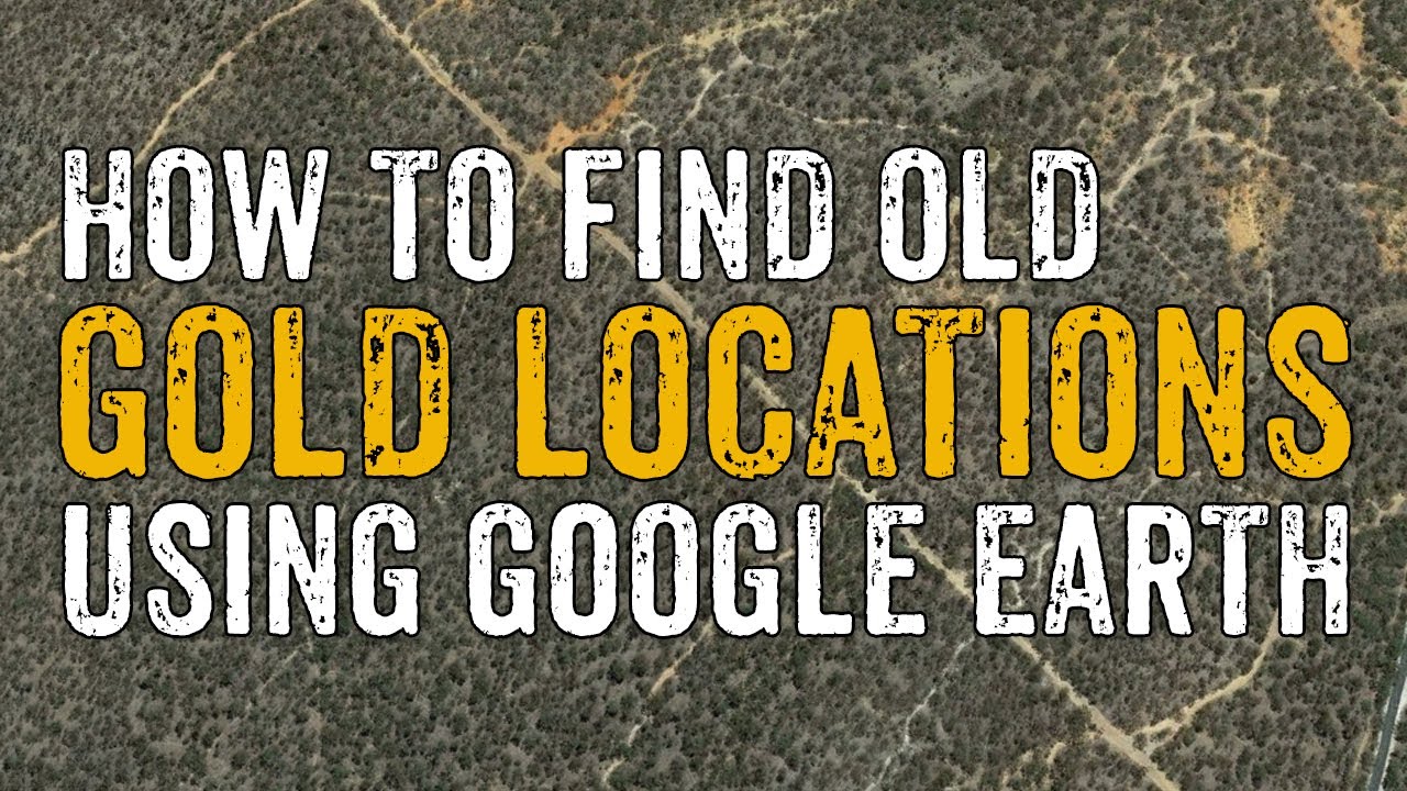
How to find Gold Locations using Google Earth
Теги
how to find old gold minesfind gold minesfind abandoned minesgoogle earth goldgoldfieldshow to find goldhow to find mine sitesmines on google earthgoogle earthgoogle mapsgoldgold historygold rushgold diggingsabandoned minesmining historygold mining historyvictorian goldfieldsmine shaftssurfacingpaddockingdeep leaddeep lead golddeep lead minequartz minetailingsbattery tailingshydraulic sluicingstamp batterymine