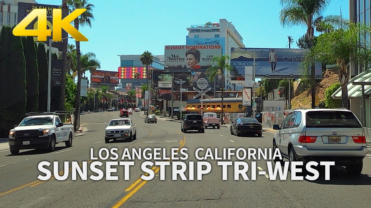
LOS ANGELES - Driving Sunset Strip, Santa Monica Blvd, La Cienega Blvd, California, USA, 4K UHD
Videography by THE TABLE
Copyright ⓒ 2020 THE TABLE, All Rights Reserved.
The Sunset Strip is the 1.5-mile (2.4 km) stretch of Sunset Boulevard that passes through the city of West Hollywood, California. It extends from West Hollywood's eastern border with the city of Los Angeles at Marmont Lane to its western border with Beverly Hills at Phyllis Street. The Sunset Strip is known for its boutiques, restaurants, rock clubs, and nightclubs, as well as its array of huge, colorful billboards.
Santa Monica Boulevard is a major west-east thoroughfare in Los Angeles County. It runs from Ocean Avenue in Santa Monica near the Pacific Ocean to Sunset Boulevard at Sunset Junction in Los Angeles. It passes through Beverly Hills and West Hollywood. A portion of it is designated as California State Route 2.
La Cienega Boulevard is a major north–south arterial road that runs between El Segundo Boulevard in Hawthorne, California on the south and the Sunset Strip/Sunset Boulevard in West Hollywood to the north. It was named for Rancho Las Cienegas, literally "The Ranch Of The Swamps," an area of marshland south of Rancho La Brea.
[ Ссылка ]
[ Ссылка ]
[ Ссылка ]