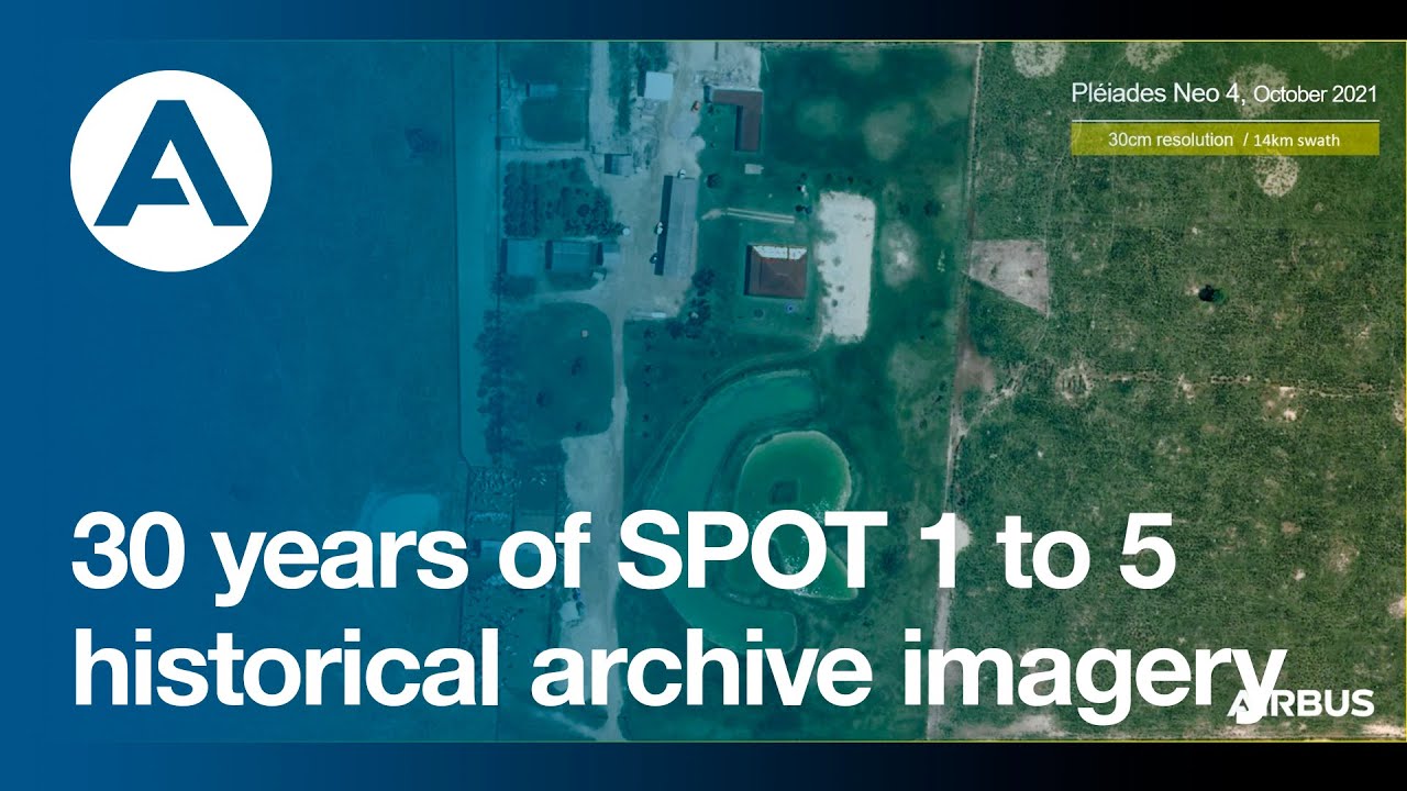
Have a look at the series of images over a deforested area in the Paraná state in Brazil.
This SPOT World Heritage represents about 68 Billion km² covering the whole world in 5m to 20m resolution.
Combined with the most recent SPOT 6/7 data and accurate Pléiades or Pléiades Neo imagery, it helps users precisely understand what happened in the past and carry out the most comprehensive analysis.
Learn more here: [ Ссылка ]
#SPOT #Pléiades #PléiadesNeo #Earthobservation #NICFI #Climatechange #Deforestation #Brazil #Satelliteimagery #News #Archive #Archiveimagery