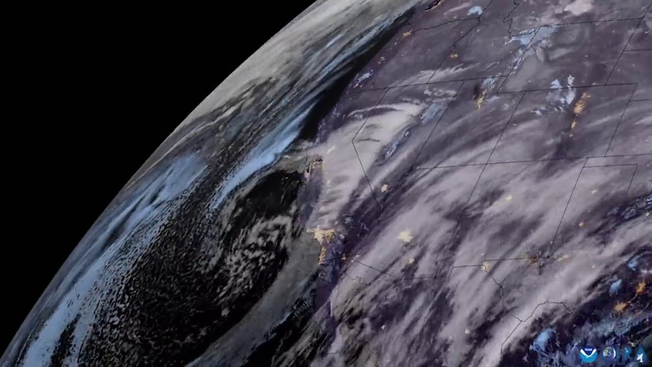
A satellite captured views of a large winter storm system swirling over much of the US between Feb. 24 and 27, according to the Cooperative Institute for Research in the Atmosphere (CIRA), which released an animation based on the images. The video shows the storm’s movements over three-day time period, said CIRA, which operates in partnership with the National Oceanic and Atmospheric Administration. Credit: CIR/NOAA via Storyful