Skådalen is a hidden gem in Oslo, if hidden at all :) This hike contains much more than Skådalen though, and the video and the description will show you a loop that includes several areas in Skådalen, Fuglemyrshytta, Vettakollen and Båntjern. With this short video and a little bit of information you are ready to set of on the hike yourself :)
1) Jump on subway line 1 going West. The end station is Frognerseteren, but you will get off at Skådalen.
2) Follow the road up the hill and take a left at the first junction. You will see a kindergarden here as well. You can park here if you want to.
3) Take the first left as soon as you have gotten onto the trail, and keep left until you have crossed the river.
4) When you have crossed the river you will take a right and hike upstream with the river on your right.
5) After a while you will cross another bridge and get back on a bigger trail. You will take a left and head up the hill. You might see some climbers at your right when you cross the bridge.
6) When you see a trail to the right with a sign for "Fuglemyrhytta", then you take a right. Very soon you will get onto a bigger trail. Do not follow the sign to "Fuglemyrhytta" this time, but take a right down the hill. This will lead you to some beautiful areas.
7) You will get to a really cool passage where you have a cliff on your left, a drop off on your right, and tall treas around. After this passage you will leave the big trail for a small trail up to the left.
8) You will see a cabin on your left now, and as soon as you get to a new trail after a minute, you will take a left. This will take you through a nice forest area.
9) It can be hard to know when you should turn left. Keep heading up hill until it seems like the main trail is taking you to the left. After a few minutes you will have a big drop off on your left and great views. From here you can see where you have hiked already at lower elevation.
10) Follow this trail until you get to the cabin, Fuglemyrshytta. Great views from here and a good place for a snack.
11) Before you reach the cabin you will hike up a hill, and when you continue you take a right from here. After about 100 meters there is another right that you should take. There are signs here as well.
12) After about 20-30 minutes on this trail you will end up at Vettakollen and have awesome views of Oslo again.
13) From Vettakollen you will head downhill, and when you get to the bottom after about 10-15 minutes you will take a left and head up the hill. This will take you to the upper trail around Båntjern.
14) After a few minutes up the hill you will take the second trail to the right. This is the first bigger trail leading off to the right.
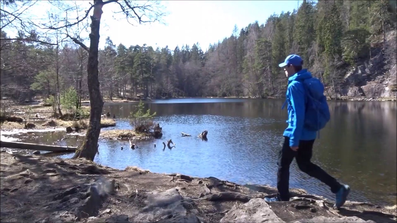
15) You will follow this trail until you get to a nice viewpoint overlooking the lake, and then you continue around and down to the lake.
16) When you have walked around the lake head uphill on the bigger trail, and head downhill for Vettakollen subway station. If you parked your car by Skådalen station, then just walk to the right after crossing the tracks and you will get there. It will take you 5 minutes. The section from Vettakollen subway station to the top of Vettakollen is covered in another video if you want to check that out.
This whole loop should take you around 2 hours.
#Oslo
#Hiking
#Norway