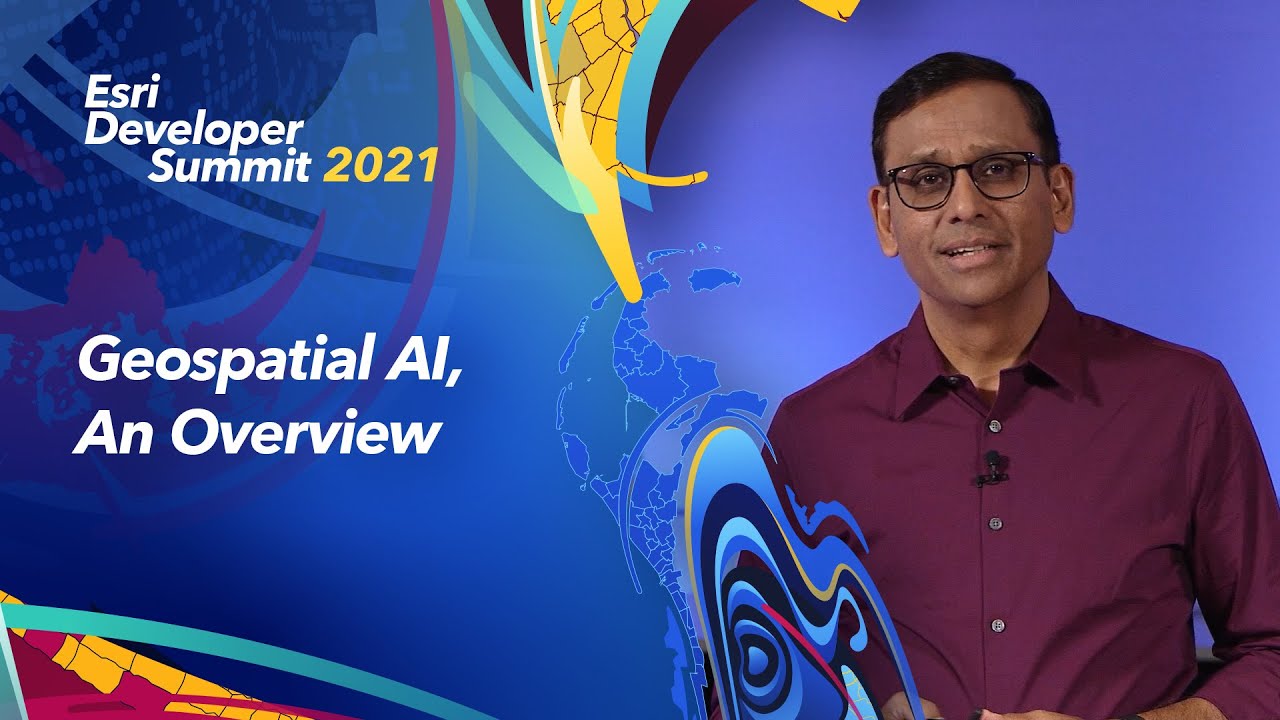
Jay Theodore, CTO - Enterprise and AI defines Geospatial AI and how it expands the power of GIS.
Rohit Singh, Director, Esri R&D Center - New Delhi, takes us on a tour of geospatial AI for detecting and solving real world problems using the arcgis.learn Python module, on tasks such as feature extraction and change detection, using input data such as text, imagery, video, and more.
--------------------------------------------------------------------------------------------------------------------------
Follow us on Social Media!
Twitter: [ Ссылка ]
Facebook: [ Ссылка ]
LinkedIn: [ Ссылка ]
Instagram: [ Ссылка ]
The Science of Where: [ Ссылка ]