#GoogleEarthPro #CropIdentification #CropYieldModel #PrecisionFarming #Agriculture #giselle
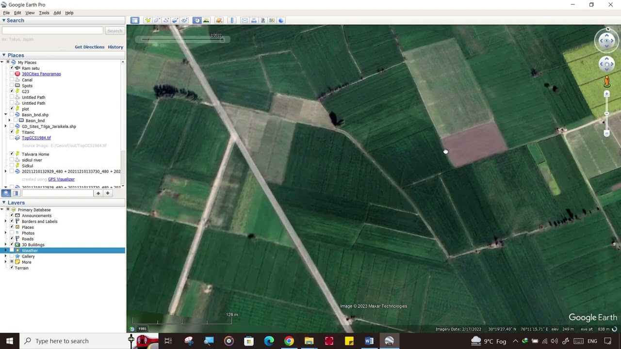
Google Earth Pro is a powerful and widely used geospatial tool for exploring and visualizing different types of geographic data. For agricultural applications, Google Earth Pro can be used to explore and understand the study area and help estimate crop yield.
Link to detailed course : [ Ссылка ]