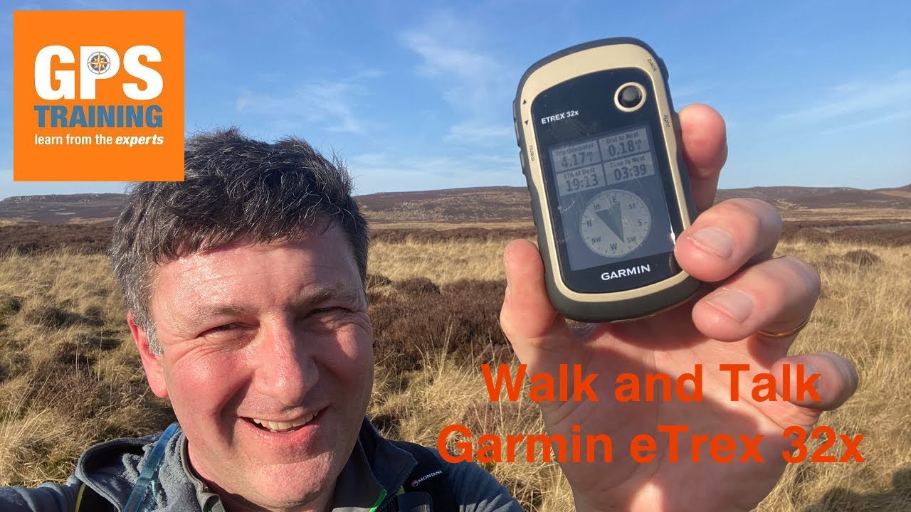
On this walk and talk I take the Garmin eTrex 32x for a 16-mile walk.
Starting from Rothbury, Northumberland, I pass over the Simonside Hills, Spy Law to Harwood Forest.
After passing along St Oswald’s Way and reaching Falowlees I head North up to Whitefield Hill before dropping down to Caistron Lakes.
--- Products and services mentioned in the video ---
1. Garmin eTrex 32x with 1:50k TOPO PRO maps - [ Ссылка ]
2. Free Ordnance Survey Route Planning software - [ Ссылка ]
3. Garmin backpack tether - [ Ссылка ]
4. Garmin GPS Training Courses - [ Ссылка ]
Get free personalised GPS recommendation - [ Ссылка ]
--- Chapters ---
00:00 – Introduction to walk and talk
00:38 – Planning the walk on the free Ordnance Survey Route Planning software
02:55 – Resetting the Garmin eTrex 32x at the start of the day’s walking
04:55 – Garmin eTrex screen in bright sunshine
06:27 – Thanks for all your support, it is appreciated
09:58 – What is the difference between a route, track and a waypoint
13:45 – the navigational experience of a Garmin eTrex 32x
14:53 – A look at the range of Garmin eTrex range, what are the differences?
18:05 – Falowlees Farm
18:40 – How to use a Garmin eTrex 32x, navigating around the GPS unit
22:10 – Carrying the Garmin eTrex GPS unit – Garmin backpack tether
24:22 – Storm damage in Harwood Forest
24:40 – Can you use a Garmin eTrex 32x with an iPad, tablet or mobile phone?
26:20 – Creating a waypoint and navigating to it on a Garmin eTrex 32x
30:05 – Whitefield Hill, Northumberland
32:30 – Caistron Lake
33:44 – Northumbrian lambs
34:12 – Night navigating with the Garmin eTrex 32x
36:42 – The pros and cons on the Garmin eTrex 32x
39:25 – Stopping navigating a route and saving your track – Garmin eTrex 32x
40:35 – GPS Training office and Garmin eTrex 32x
41:03 – Many thanks for watching the latest walk and talk