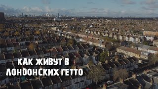
TODMORDEN WALKS - CARR AND CRAGGS MOOR CIRCULAR
[ Ссылка ]
Also see Fly Through...
CARR AND CRAGGS MOOR FROM TODMORDEN CIRCULAR WALK FLY THROUGH
[ Ссылка ]
Walked Sunday 25/11/2018
14.3km 8.89mi 4hrs 22mins
Time includes breaks and stopping for lunch.
Total Ascent 510m 1674ft
Lowest 130m 427ft
Highest 440m 1444ft
Walked with Jimmy, Geoff, Brian, Ken W, Steve F and Steve Mac.
Todmorden Moor is upland plateau moor with an altitude of about 350 1148ft to 400m 1312ft, reaching a high of 441m 1450ft at Carr and Craggs Moor.
Todmorden Moor lies between Cliviger Gorge to the north and Dulesgate valley to the south, with steep slopes down towards north and east into the Calder valley.
To view OS Maps Route click link…
[ Ссылка ]
Thank you for watching.
Please don’t forget, if you like this video can you “Like,” “Favourite” and “Share” it with your friends to show your support and help encourage people to get out there walking.
MYWALKINGMOVIES
[ Ссылка ]
————————————————
MyWalkingMovies©️KentheWalker 2018
————————————————
Exploring paths here there everywhere.
————————————————
TODMORDEN WALKS - CARR AND CRAGGS MOOR CIRCULAR
Теги
kenthewalkermywalkingmoviesCARR AND CRAGGS MOOR FROM TODMORDEN CIRCULAR WALKTODMORDENtodmorden railway stationweatherspoons todmordenthe white hartthe queensTODMORDEN WALKtodmorden walktodmordentodmorden walksken the walkercornwall viewshill walking videohill walking videossaddleworth walkssaddleworth eventsoldham walksrochdale walksglossop walksripponden walkscheshire walkslancashire walks