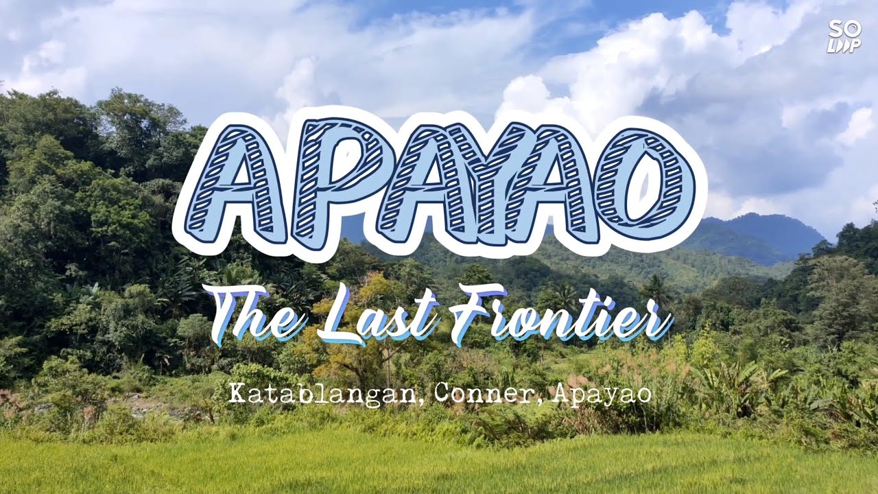
With a sweeping land area of 213 square kilometers based from its newly improved cadastral survey, the village of Katablangan is the largest in terms of land area, the wildest as far as tropical rainforests barely touched by humans is concerned and the westernmost barangay of Conner in the municipality of Apayao; its wilderness almost impenetrable with its very steep hills and mountains bordering into the equally wild neighboring province of Abra. Its geographical location nestled into the northern cores of the grand Cordillera mountains of Apayao, also itself known to be last forest frontier of the North makes it a beneficiary of all what the nature can offer. Katablangan's highlands with its highest peak, Mount Manmanok, lofty at 2,000 meters above sea level and its surrounding expanse of lush tropical greeneries is the well spring of the rivers that sustain life in the village, both for the teeming biodiversity and its inhabitants. The rivers, namely Saggat, Puriked, Anukulan and Barren, all with pristine, cyrstal-clear potable waters are all source of abundant natural resources.
The almost unknown, inactive but not declared extinct volcanoes of Mount Macopa and Mount Calawag are the silent sentinels and testifiers of the primordial tectonic subductions that transpired, eons ago.
As accounted from the stories knitted from the early settlers of the place known today as Katablangan, the area was thickly populated by massive red-flowering trees called "tablang", producing a reddish to brown sap resin or exudate. The plentitude of such trees, later on gave rise to the official name of the barangay called Katablangan, which means, "the place where tablang trees abound".
Latest census in 2020 suggested Katablangan's inhabitants of 650, representing just 2.36 of the total population of Conner. The remotest village among the 21 barangays in the municipality, Katablangan has clusters divided into two community, namely the Upper Katablangan and the Lower Katablangan, each composed of three zones or sitios. Predominantly occupied by the indigenous Isnegs, a proliferation of different ethnic groups such as the Ilokanos, Igorots, Ifugaos and the Apayaos, created a mixture of cultures arising from the intermarriages of the original Isnegs from neighboring provinces. It is however believed that Isnegs are descendants of the Ilokano settlers from the Ilocandia Region and members of the Tinggian tribes from Abra. The interdependence of these ethnic groups caused by these intermarriages only led to a better understanding of each other's culture and norms, eventually building respect to each others.
Parallel to the Barren River, the undulating, narrow strip of rough terrains carved on the sides of the mountains creating precipitous cliffs, is the only way to reach Katablangan by means of horse-back ride or arduous hiking. During summer or dry season however, the village can be tracked using strong-suspensioned motorcycles driven by an experienced, terrain-familiar rider via a 25-kilometer expanse of craggy dirt road from Manag, a relatively "more civilized" barangay; and yet, Manag itself is another 7 miles to the town center of Conner.

![[]Night by the sea reaction[]Gacha 🇺🇸🇷🇺[]Ft:Taejus parents[]🤫🧏♂️🤭[]Pt:2[]](http://i.ytimg.com/vi/jqp7u9c6_5M/mqdefault.jpg)


![[Мадара в Мире Марвел1] Хейл свалился с пропасти, но выжил? Альтернативный Сюжет Живая Озвучка](http://i.ytimg.com/vi/qqQx8y9wjtE/mqdefault.jpg)