This loop shows the Google Earth satellite/aerial shots of the Lower Ninth Ward of New Orleans, Louisiana from the following dates before and after Hurricane Katrina, on the 10th anniversary. See my blog for more info: [ Ссылка ]
(Note the picture caught a plane coming in for a landing or takeoff on 3 /5/2013)
2/6/2003
1/21/2004
5/3/2004
4/17/2005
8/16/2005 (Before)
8/30/2005 (During)
9/1/2005 (During)
9/4/2005 (During)
9/7/2005 (During)
9/20/2005 (After)
10/4/2005
10/18/2005
11/16/2005
3/30/2006
5/30/2006
6/12/2006
7/18/2006
9/28/2006
11/1/2006
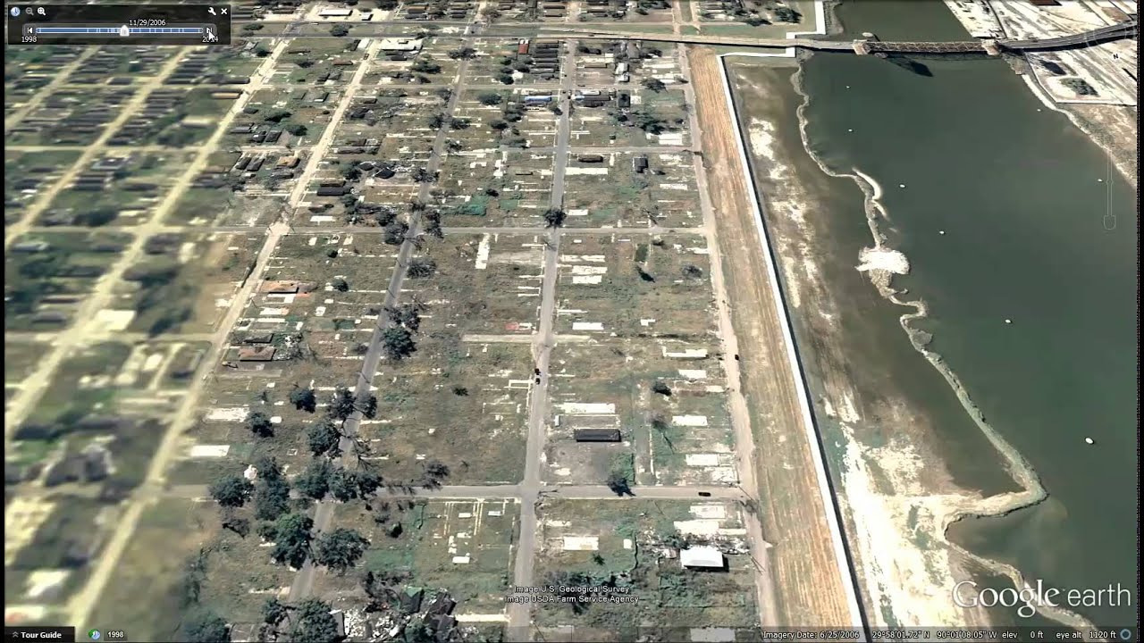
11/29/2006
10/11/2007
8/4/2008
8/24/2009
3/22/2010
12/30/2010
11/29/2011
10/5/2012
3/5/2013
10/31/2014


![[SUB]越南求援中國大陸基建 波蘭訪中大信號 新聞大白話 20240625 (字幕版)](http://i.ytimg.com/vi/1B-a2R2B8zw/mqdefault.jpg)