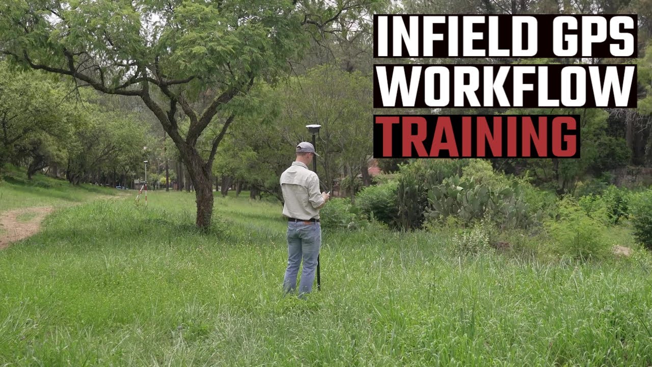
GPS Infield Workflow | How to do a Topographic Survey | RTK GNSS Surveying Training
In this video we are going to go through the entire infield workflow of how to do a topographic GPS survey. From establishing control to setting out points.
Ps: The data collection software used was eField Surveying Software, but the principles stays the same no matter what application you are using.
Not sure how to do a basic GPS equipment set up? Watch here: [ Ссылка ]
#surveying #surveyinginstruments #emlid #somsurveyinstruments #GNSS #RTK #GPS #topographic